SKU:ALTER4
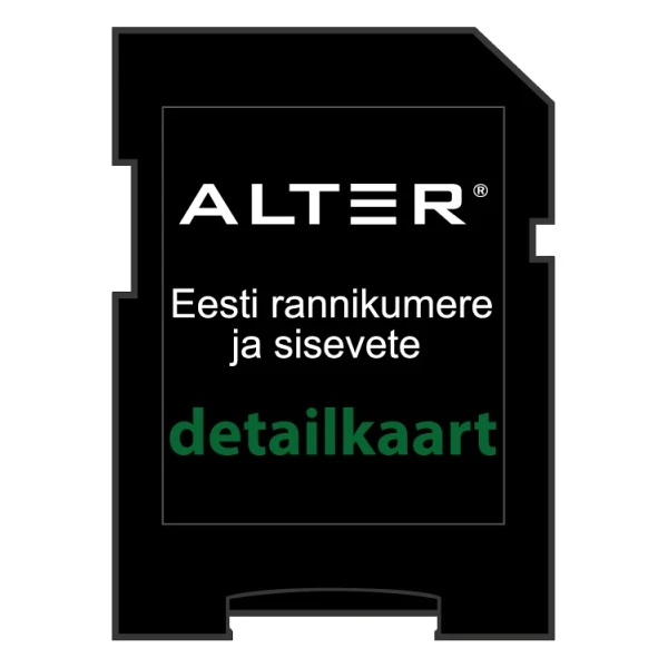
Image is for illustrative purposes only
The ALTER-4 by Alter Marine is a detailed digital navigation chart specifically developed for Estonian coastal and inland waters. It offers reliable mapping data based on official December 2020 surveys from the Estonian Maritime Administration (Eesti Veeteede Amet).
Key Features
- Provides extensive maritime coverage within 20 nautical miles of the Estonian coastline.
- Includes detailed mapping for major inland waterways: Lake Peipus, the Emajõgi River, Lake Võrtsjärv, the Narva River (including the reservoir), and the lower Pärnu River.
- Delivered on a microSD carrier for convenient installation in modern marine electronics.
- Utilizes high-accuracy data sourced from official government hydrographic measurements.
Compatibility
This chart is optimized for use with modern chartplotters and multi-function displays (MFDs) from Lowrance, Simrad, and B&G. Please note that this product does not support devices manufactured by Garmin, Raymarine, or Humminbird.
Applications
Designed for both professional and recreational mariners, this map provides the necessary data for safe navigation throughout Estonia’s primary maritime zones and internal waterway networks.
Brand: Alter Marine
Compatibility: Lowrance (Mark-4 CHIRP/HDI, Elite-4/5/7/9 CHIRP/HDI, HDS Gen2/Gen2 Touch/Gen3, Elite Ti, CARBON, HOOK-4/5/7/9, HOOK2-5/7/9/12, HOOK Reveal, HDS Carbon, HDS Live, Ti2), Simrad (NSE, NSS Sport, NSS evo2, NSO evo2, NS GO, NSS evo3, NSS evo3S), B&G (Zeus Touch, Zeus2, Zeus2 Glass Helm, Zeus3, Zeus 3S)
Coverage: Estonian coastline (20 nm), Lake Peipus (Peipsi järv), Emajõgi River, Lake Võrtsjärv, Narva River and Reservoir, Pärnu River (lower reaches), and various harbors
Data Source: Estonian Maritime Administration (Eesti Veeteede Amet)
EAN: 7392529035438
Format: microSD
Incompatibility: Garmin, Raymarine, and Humminbird devices
Release Date: 12/2020
SKU: ALTER4
-
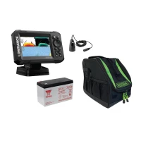 000-16112-001KOM505.00 €Customer price479.75 €-5%
 -
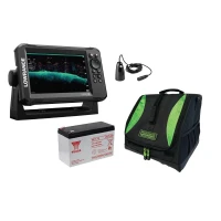 000-16115-001KOM664.00 €Customer price630.80 €-5%
 -
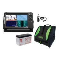 000-16127-001KOM945.00 €Customer price897.75 €-5%